Road trip: Gold Coast Hinterland

Winding road through the Gold coast Hinterland on a sunny day

Trip Summary
Duration: 1 day

Activities
Sightseeing – Boutique shopping – Scenic drives – Lookouts

View the itinerary
       

Highlights
Shopping at Sanctuary Cover  – Dine at a tea house in the Numinbah Valley

– Visit Currumbin Creek rock pool


Member benefits
NRMA Treasure Island Holiday Resort 


The Gold Coast hinterland has some of the best scenic drives in the country, with winding mountain roads, beautiful vistas from lookout points, wineries, cafes, pubs, art, crafts and markets to enjoy along the way.

It doesn’t take long to drive to the hinterland from the Gold Coast, so if you like touring, here’s a recommended full-day itinerary starting from Surfers Paradise in the morning and returning at sunset.

Gold Coast Hinterland itinerary

Morning: 9am to noon

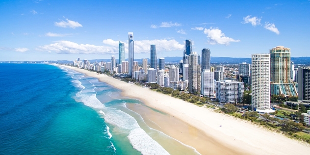
Head north along the Gold Coast Highway through Main Beach and along the edge of the Broadwater through Southport, Labrador and Runaway Bay. Once you pass Runaway Bay you’ll see signs to Sanctuary Cove. If you like boutique shopping or want to stock up on golf gear, have a wander around this prestigious resort.

Once you’re back on the road, follow the signs to the Pacific Highway and Brisbane. When you’re on the Pacific Highway, once you pass Dreamworld take the left hand exit to Mount Tamborine. This leads past an area of acreage properties and then up the mountain to Tamborine Village. You can grab a coffee and stroll around the village.
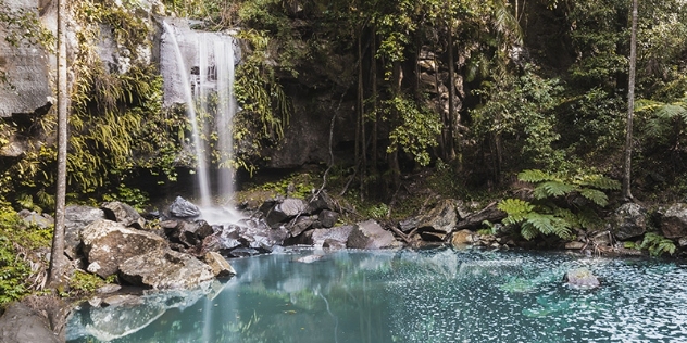
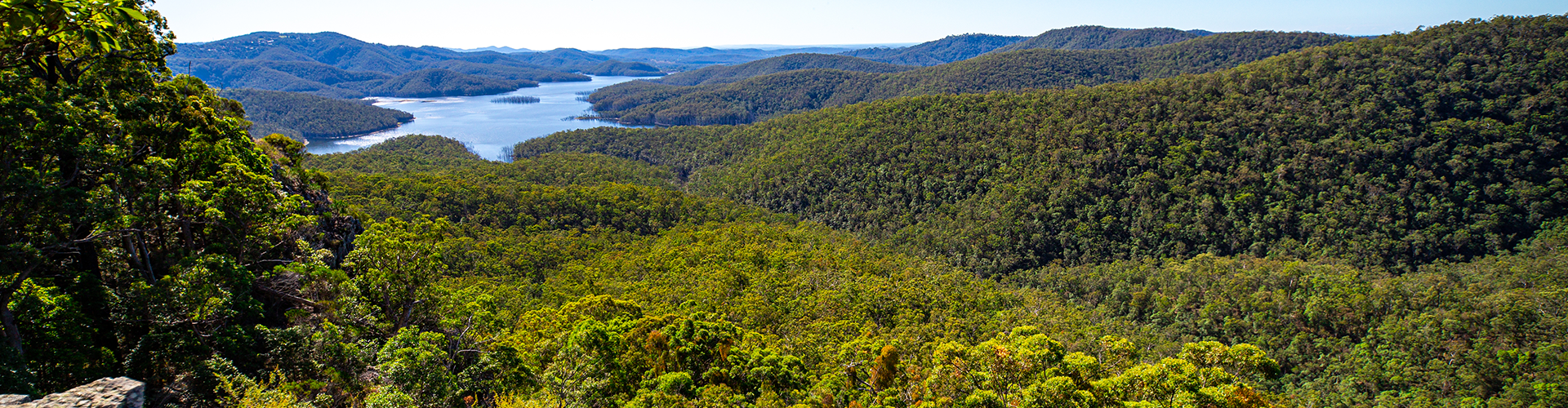
If you’d like a short walk through rainforest, head over to North Tamborine and you’ll see signs pointing to various bushwalks and national park areas. After you’ve stretched your legs, drive to Eagle Heights and back down the mountain to Nerang.

Waterfall and pool in Mount Tamborine QLD
Mount Tamborine (Image: Nico Soro via Getty)
Early afternoon: noon to 3:30pm

Once you’re in Nerang, find the Pacific Highway and head south until you see the turnoff to Mudgeeraba. Head through Mudgeeraba and follow the signs to Springbrook. The road up the mountain to Springbrook is safe, but it’s a winding drive, so care is needed.

Once you get to the top, head into Springbrook Village where there are plenty of lookouts and small shops to browse. After you’ve spent some time taking in the local sights, head back the way you came. Go through the section where the road splits in two and then take the next left. After another five or 10 minutes of curves you’ll end up at a T-intersection — turn left and head towards Numinbah Valley and Natural Arch. Grab some lunch at one of the tea houses scattered through the beautiful Numinbah Valley.

After lunch head south through the valley and take the right hand turn to Natural Arch. There’s a short bushwalk here to the arch itself, but it’s well worth the exercise.

Drive back to the road that goes through the valley, turn left and follow the signs to Murwillumbah. You’ll cross the NSW-Queensland border at a mountain pass about five or 10 minutes down the road. Take a few minutes to enjoy the fantastic view.

Stay on the road all the way to Murwillumbah and enjoy some fabulous scenery. The road begins in temperate rainforest and heads down through farmland, quaint valleys and cute towns before flattening out in the sugarcane fields. Follow the signs to the centre of Murwillumbah itself and choose a suitable spot for refreshments.

Fruit and Vegtable stall in Numinbah Valley
Numinbah Valley (Image: Vicki Smith via Getty)
Late afternoon: 3:30pm to 5pm

From Murwillumbah, you have two options to get back to the Gold Coast. Make your decision based on time and how much you enjoy winding roads. If you are short of time, follow the signs to the freeway and cruise back to Coolangatta.

If you still have time on your hands and feel like another exhilarating drive, head back out the way you came into Murwillumbah, go across the bridge to where you would have turned right after coming through from Numinbah Valley and drive straight ahead, following the signs to Currumbin. The road continues through cane fields for about 10 minutes and then heads back up and over the mountains on the border, through banana plantations and rainforest.

There are some fantastic views across the Tweed Valley all the way to Mount Warning. Keep following the winding road for about 15 to 25 minutes until you get to Currumbin Creek Road.  Turn right and follow the creek all the way back to the traffic lights at the Pacific Highway, turn right and follow the signs to the airport and Coolangatta. If day light is still on your side, be sure to stop by the Currumbin Creek rockpools, a local favourite! 

Evening: 5pm to 6pm

You can stop and stretch your legs, grab a snack or drink and enjoy the fresh, ocean air. Head north along the coastal highway back to Surfers Paradise. Along the way you’ll pass some of the most famous surf breaks in the world, including Kirra Beach, Snapper Rocks, Greenmount and Duranbah, while driving through famous beachside suburbs like Currumbin, Burleigh, Miami and Broadbeach.

Aerial view of Surfers paradise
Surfers Paradise (Image: Darren Tierney via Getty)
Article written and supplied by RACQ.

Save on accommodation and so much more on your next road trip

Download the my nrma app to find food, attractions, parking, accommodation and exclusive Member benefits nearby